Aller au contenu principal
Shop
Accessibilité
Voir les favoris
en
Pass Côte d'Azur France
The Formula
Le Pass Cote d'Azur France
Activities
Practical information
Home
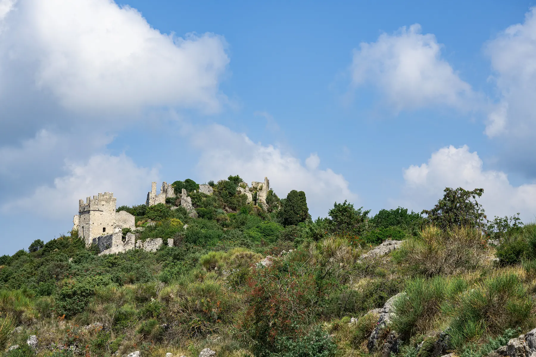
Parcours des Ruines - Parcours N°2
Parcours des Ruines - Parcours N°2
Elevation : 775m
Col de Châteauneuf, 06690 Tourrette-Levens
Getting there
×
Open the itinerary in
Google Maps
Apple Plans
Waze
Mappy
Share
Ajouter aux favoris
Add to my favorites
×
Share this sheet
Parcours des Ruines - Parcours N°2
E-mail
WhatsApp
Facebook
X
LinkedIn
Pinterest
©
F.Aguilhon Métropole NCA
Location
Comments
Location
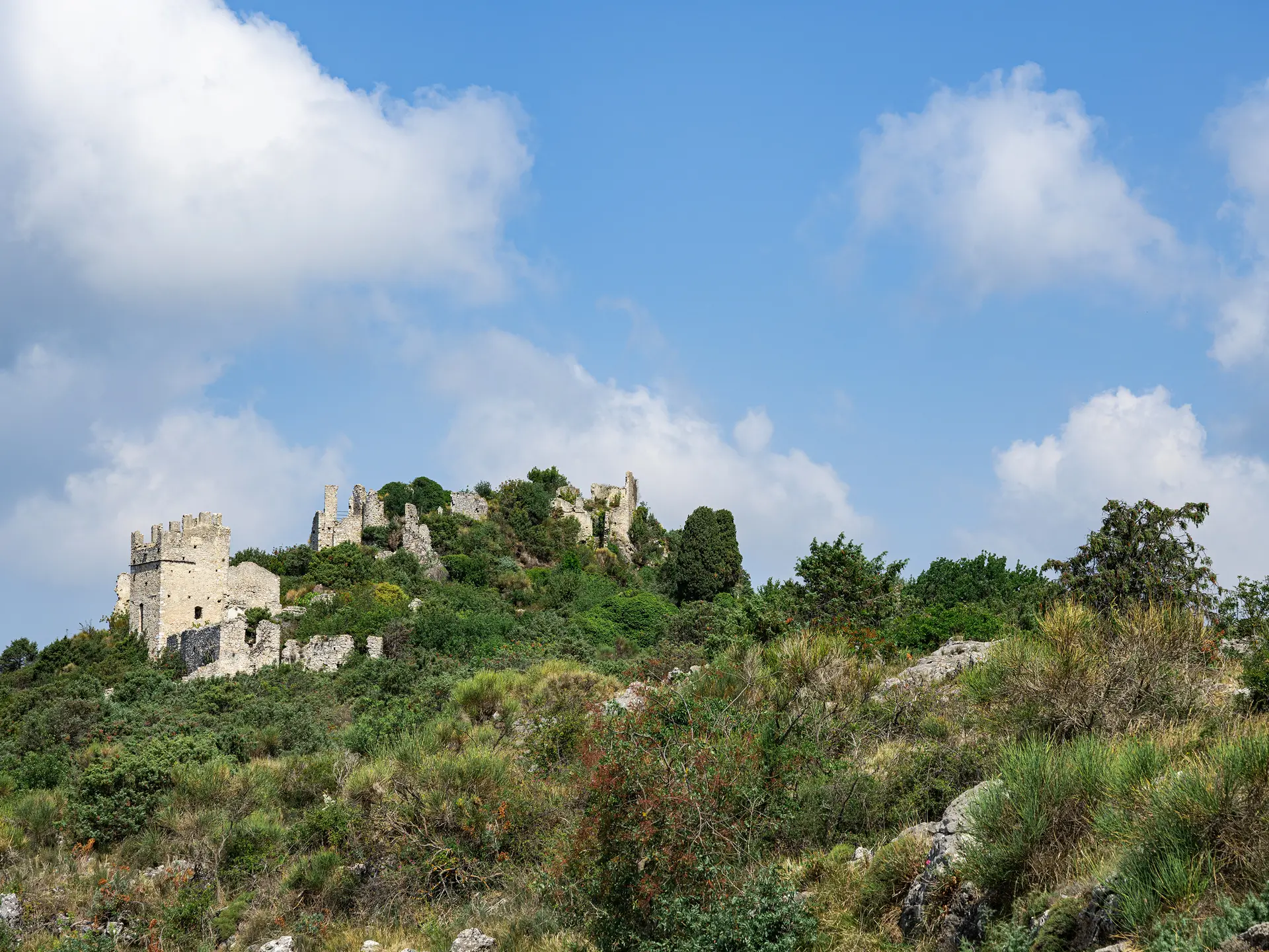
Parcours des Ruines - Parcours N°2
Elevation : 775m
Col de Châteauneuf, 06690 Tourrette-Levens
Getting there
×
Open the itinerary in
Google Maps
Apple Plans
Waze
Mappy
Spoken languages
Spoken languages
Nearby
Activities
Events
Close
Popular searches
{% label %}
Filter search
Page types
All
Articles
Agenda
Lists
Aucun résultat
/
English
Français
Italiano
Close
×