Shop
Accessibilité
Voir les favoris
Rechercher
en
Pass Côte d'Azur France
The Formula
Le Pass Cote d'Azur France
Activities
Practical information
Home
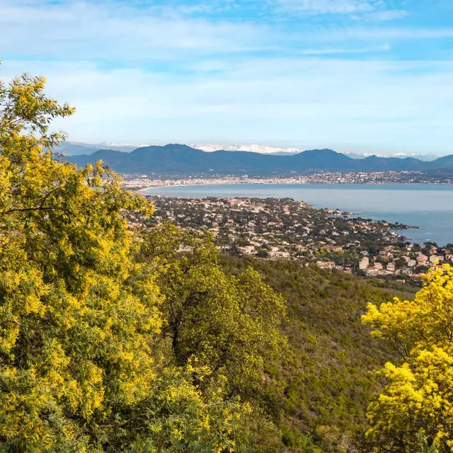
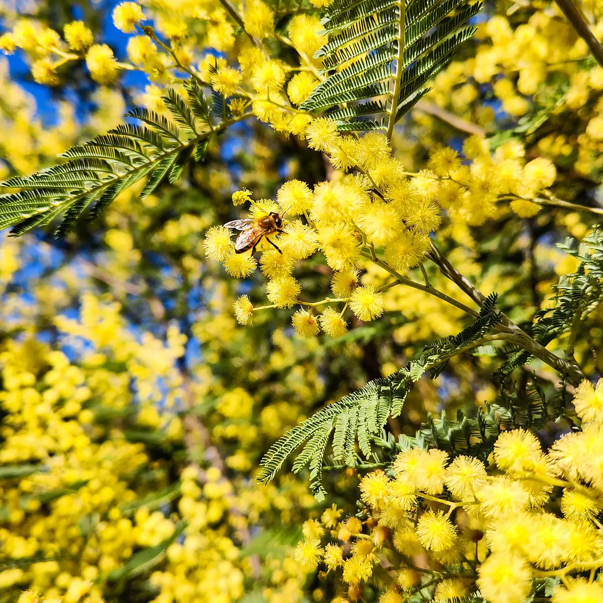
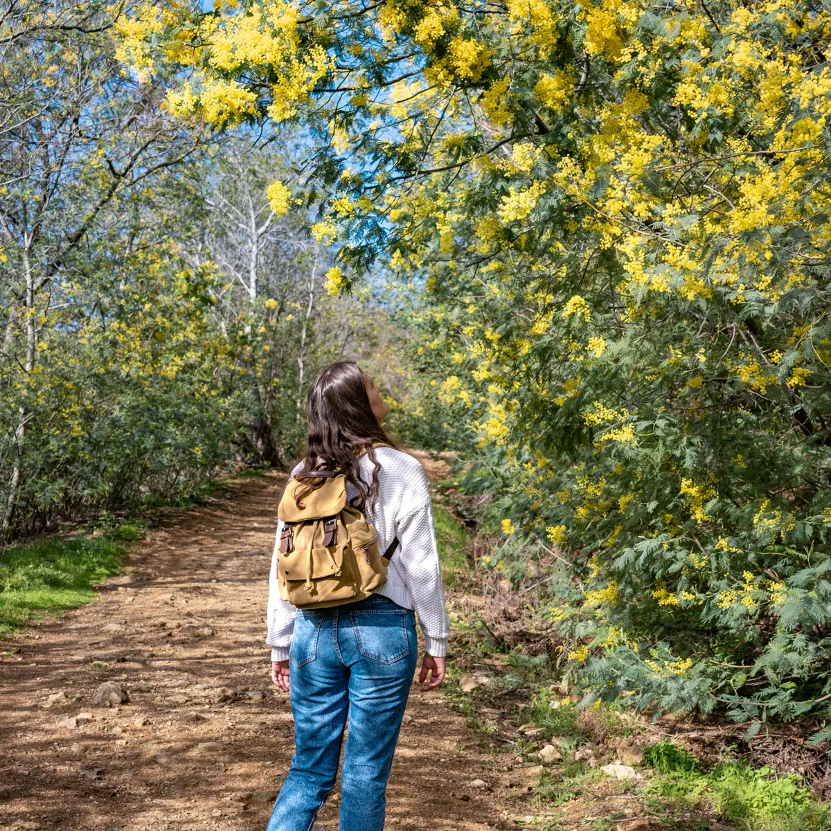
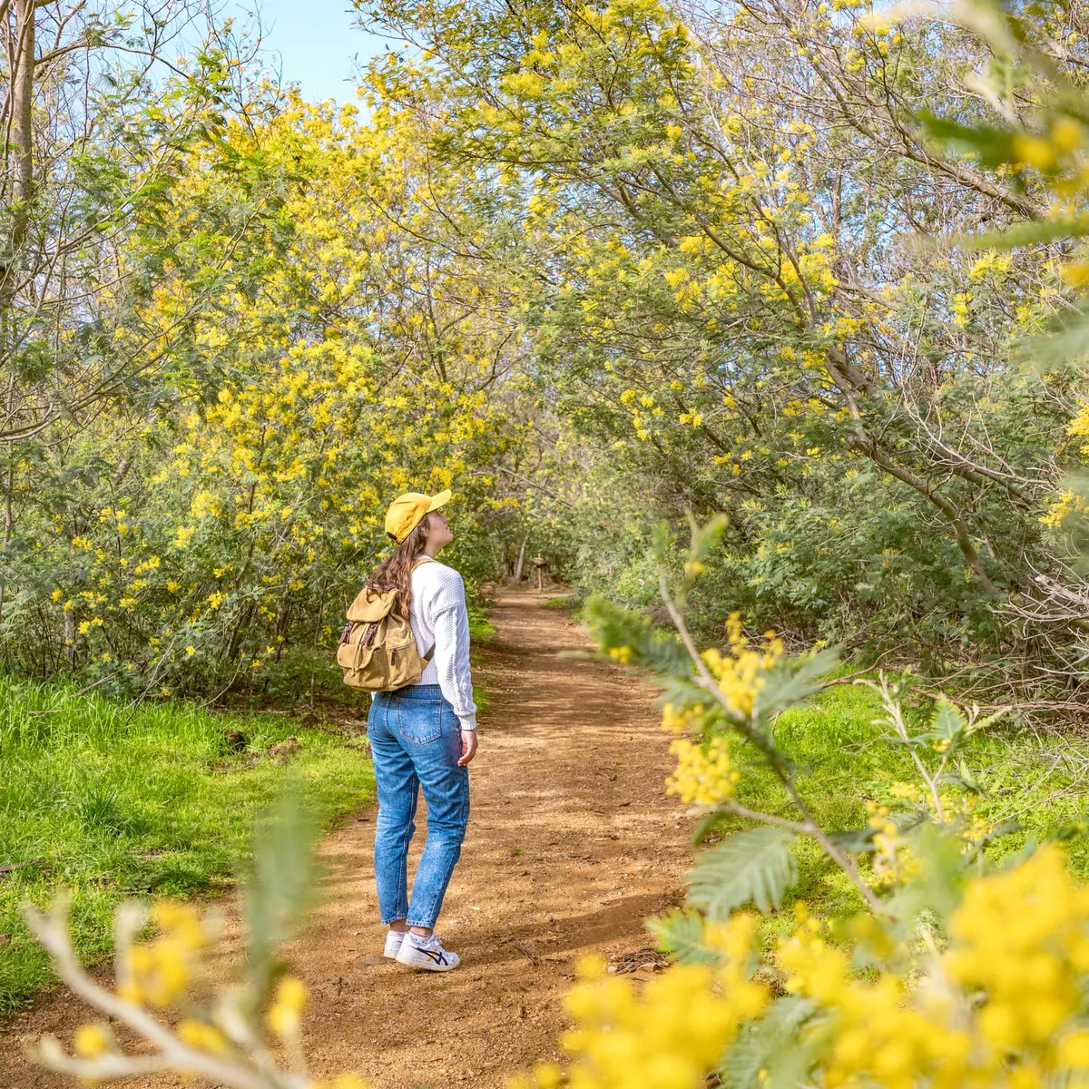
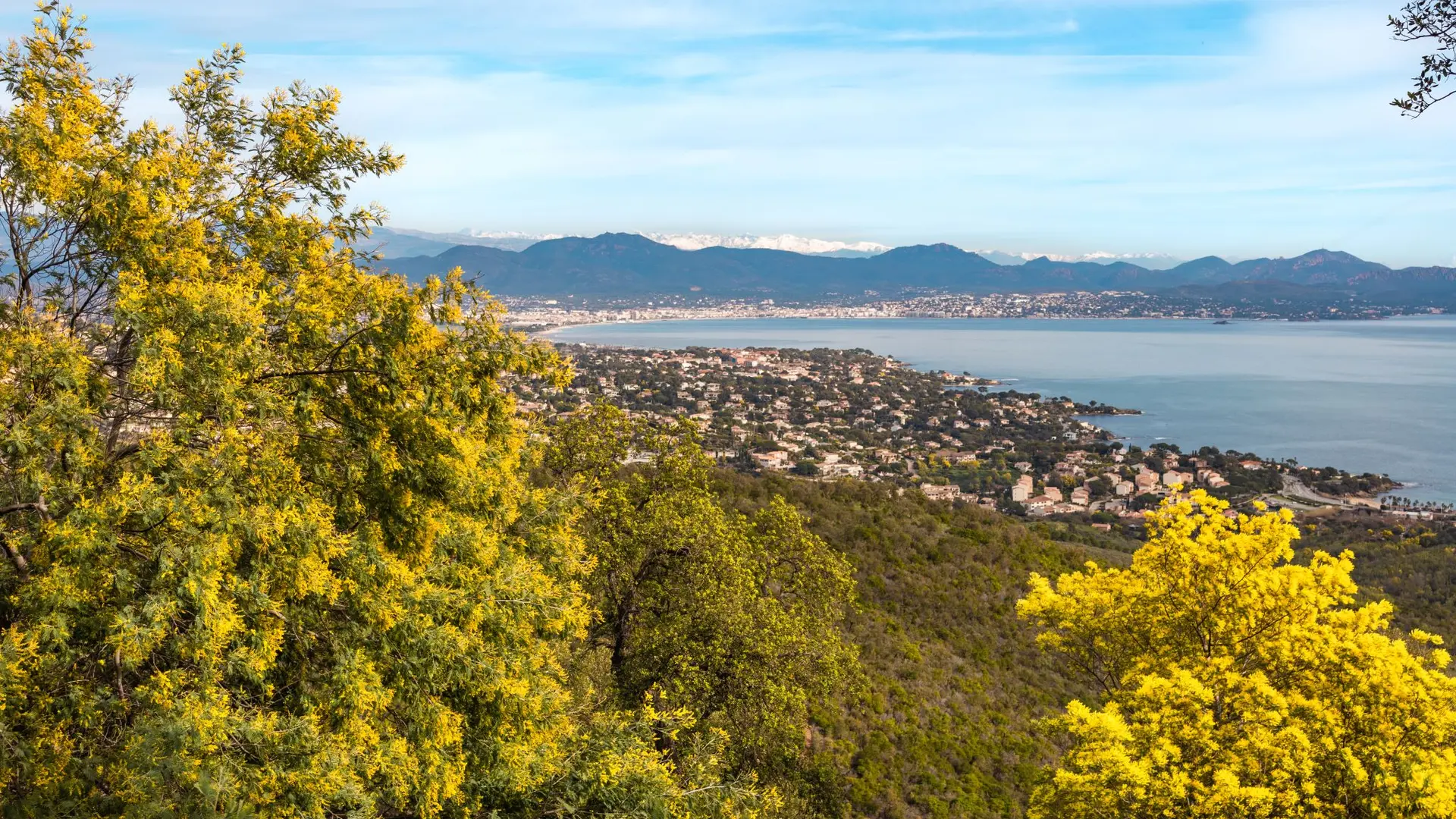
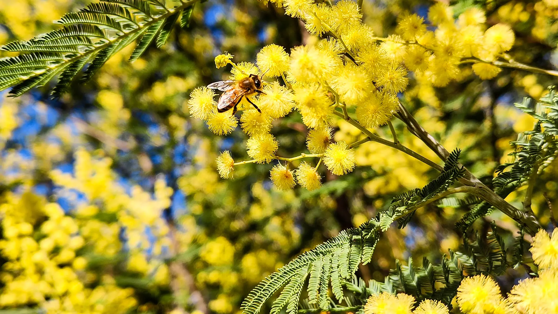
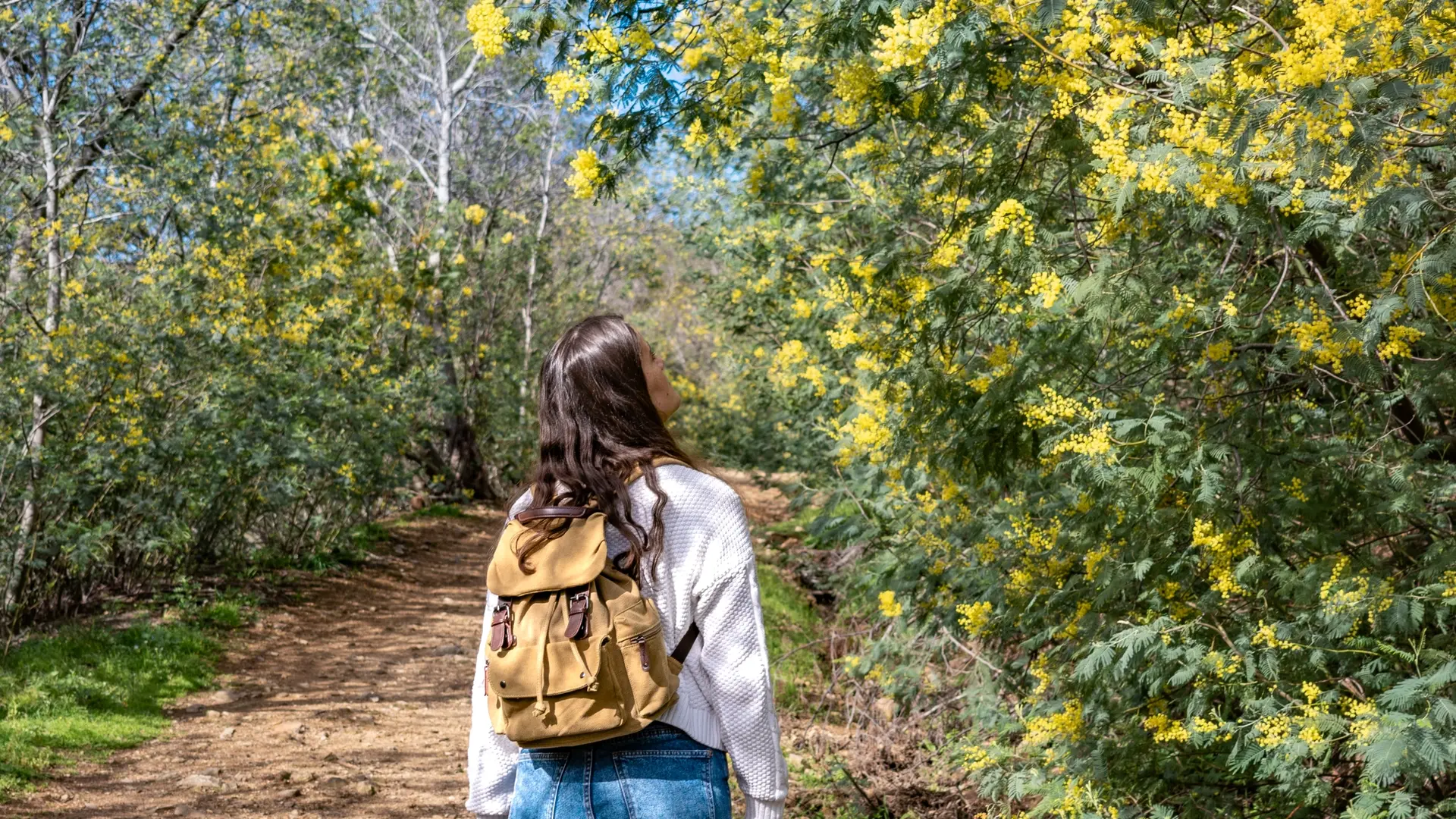
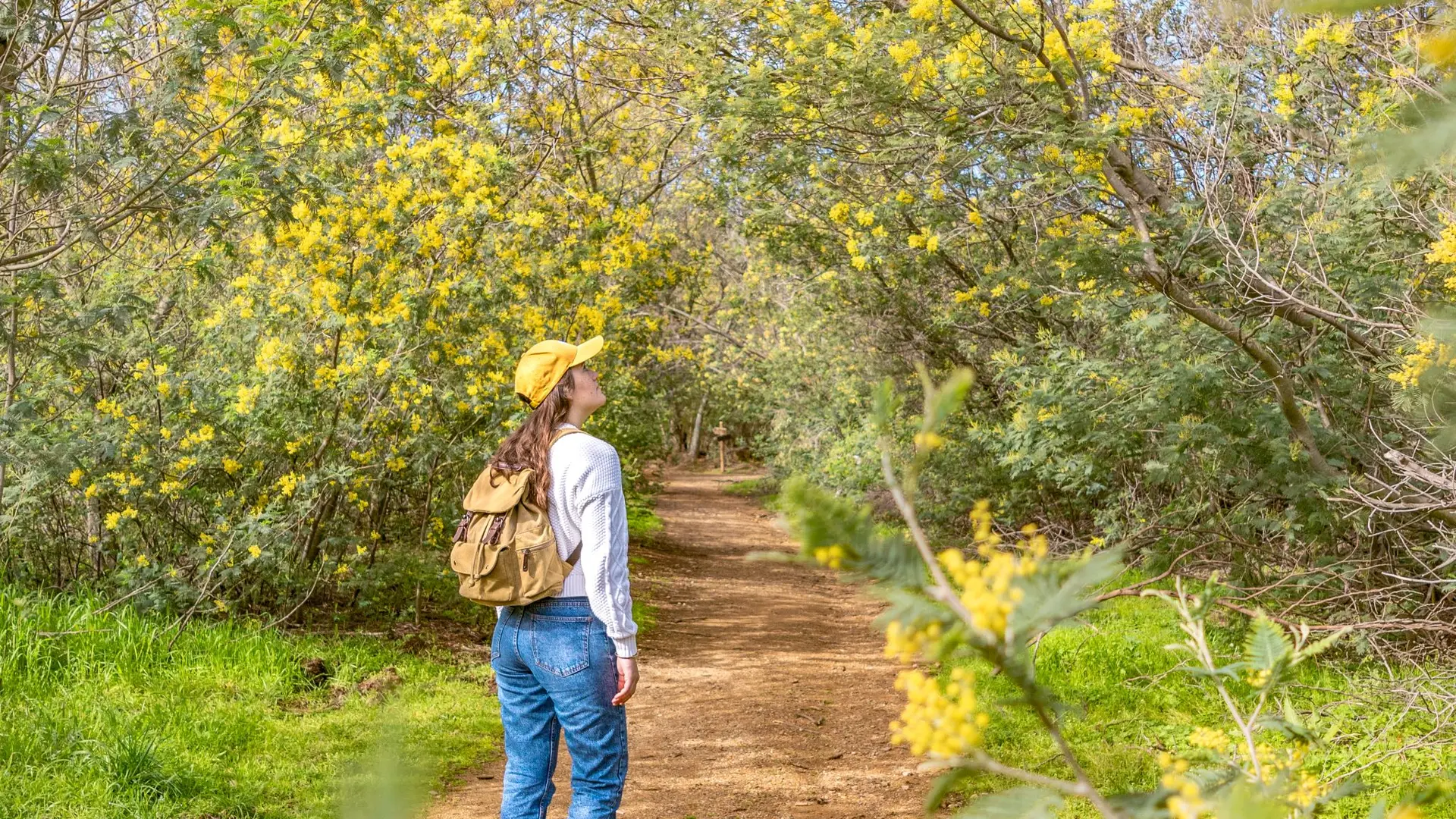
Randonnée sentier du Mimosa
Randonnée sentier du Mimosa
Elevation : 12m
65 rue du Gattilier, 83520 Roquebrune-sur-Argens
Getting there
×
Open the itinerary in
Google Maps
Apple Plans
Waze
Mappy
Share
Add to my favorites
×
Share this sheet
Randonnée sentier du Mimosa
E-mail
WhatsApp
Facebook
X
LinkedIn
Pinterest
©
OT
©
OT
©
OT
×
©
OT
©
OT
©
OT
Location
Comments
Location
Randonnée sentier du Mimosa
Elevation : 12m
65 rue du Gattilier, 83520 Roquebrune-sur-Argens
Getting there
×
Open the itinerary in
Google Maps
Apple Plans
Waze
Mappy
04 94 19 89
▒▒
04 94 19 89 89
See the websites
www.roquebrunesurargens-tourisme.fr
www.var.gouv.fr
Spoken languages
Spoken languages
Environment
Environment
Forest location
Nearby
Activities
Events
from
.
€
.
.
.
.
.
.
.
Close
English
Français
Italiano
Close
×