Shop
Accessibilité
Voir les favoris
Rechercher
en
Pass Côte d'Azur France
The Formula
Le Pass Cote d'Azur France
Activities
Practical information
Home
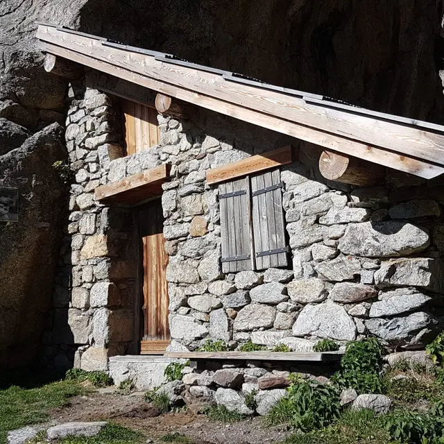
"La Boucle du Countet" hiking trail
"La Boucle du Countet" hiking trail
Elevation : 1682m
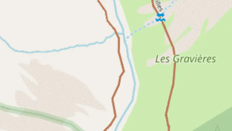
Pont du Countet, M171, 06450 Belvédère
Getting there
×
Open the itinerary in
Google Maps
Apple Plans
Waze
Mappy
Share
Add to my favorites
×
Share this sheet
"La Boucle du Countet" hiking trail
E-mail
WhatsApp
Facebook
X
LinkedIn
Pinterest
©
Office de Tourisme Métropolitain de Belvédère
×
©
Office de Tourisme Métropolitain de Belvédère
Location
Comments
Location
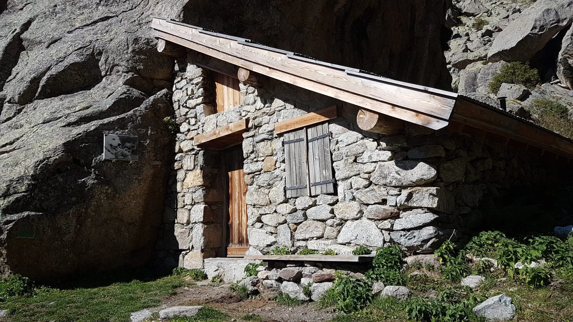
"La Boucle du Countet" hiking trail
Elevation : 1682m
Pont du Countet, M171, 06450 Belvédère
Getting there
×
Open the itinerary in
Google Maps
Apple Plans
Waze
Mappy
+ 33 (0)4 93 03 51
▒▒
+ 33 (0)4 93 03 51 66
Spoken languages
Spoken languages
Nearby
Activities
Events
from
.
€
.
.
.
.
.
.
.
Close
English
Français
Italiano
Close
×