Shop
Voir les favoris
Rechercher
en
Pass Côte d'Azur France
The Formula
Le Pass Cote d'Azur France
Activities
Practical information
Home
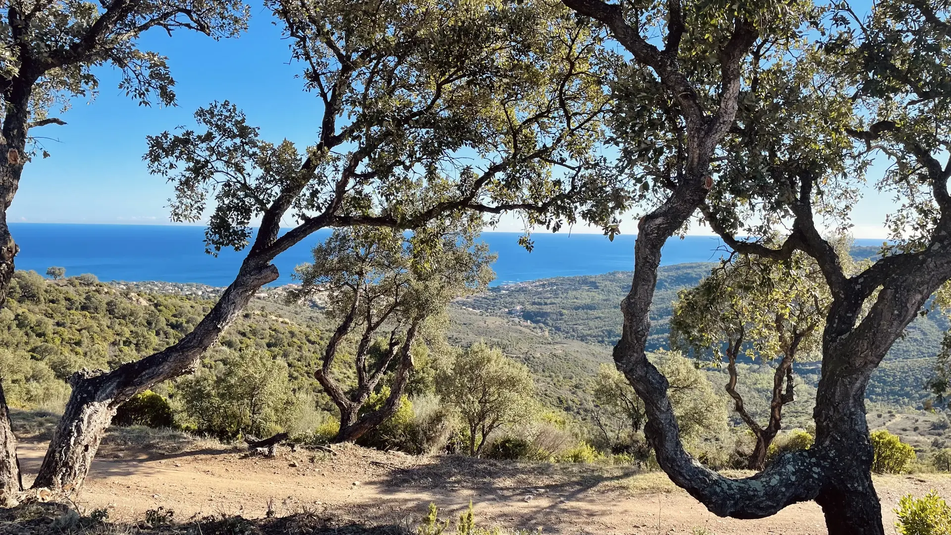
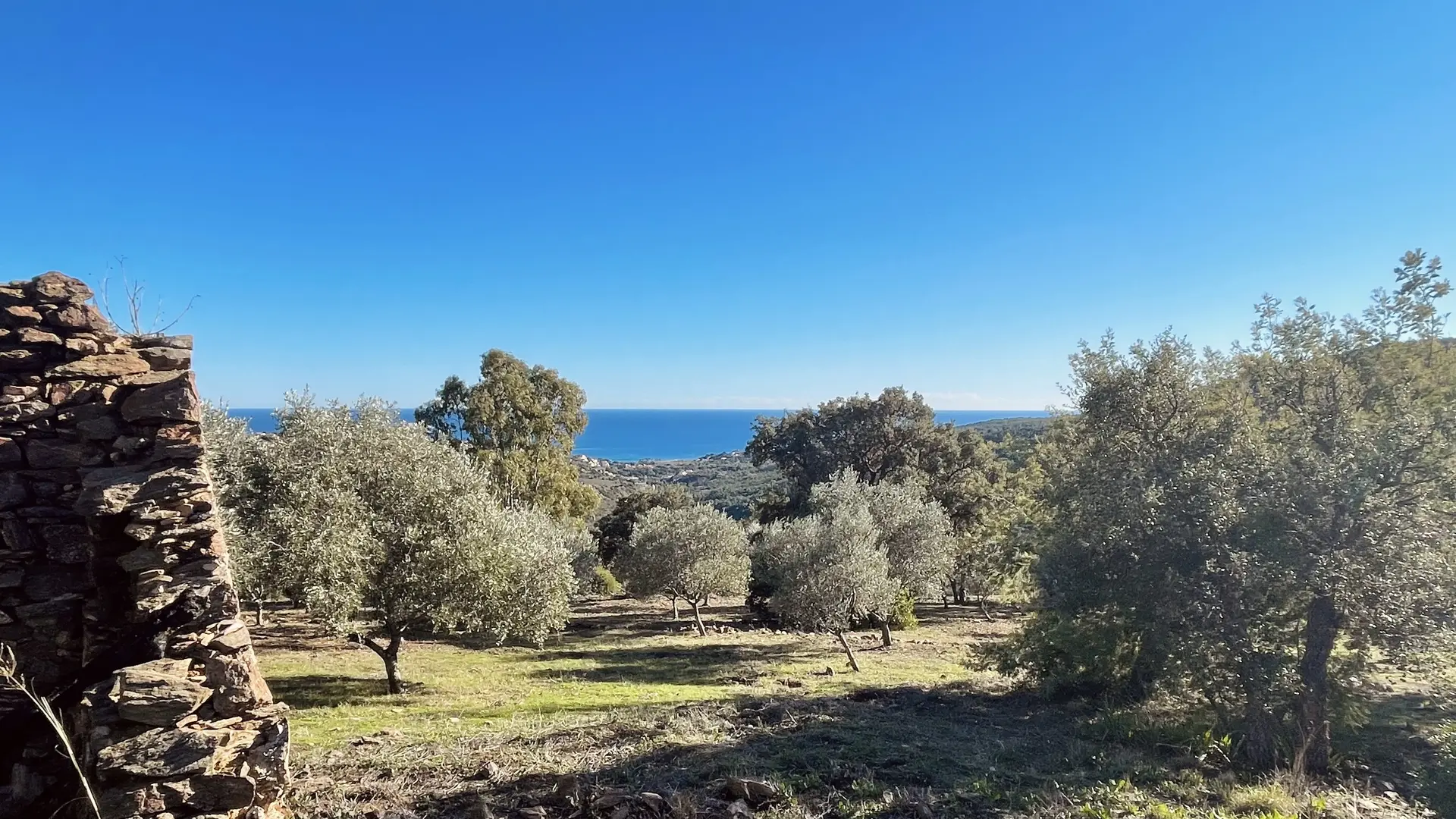
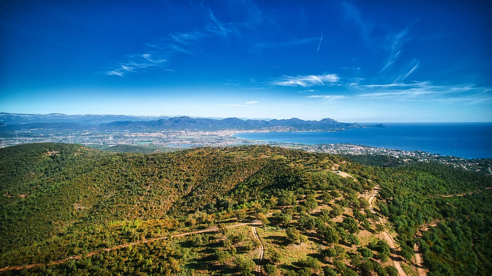
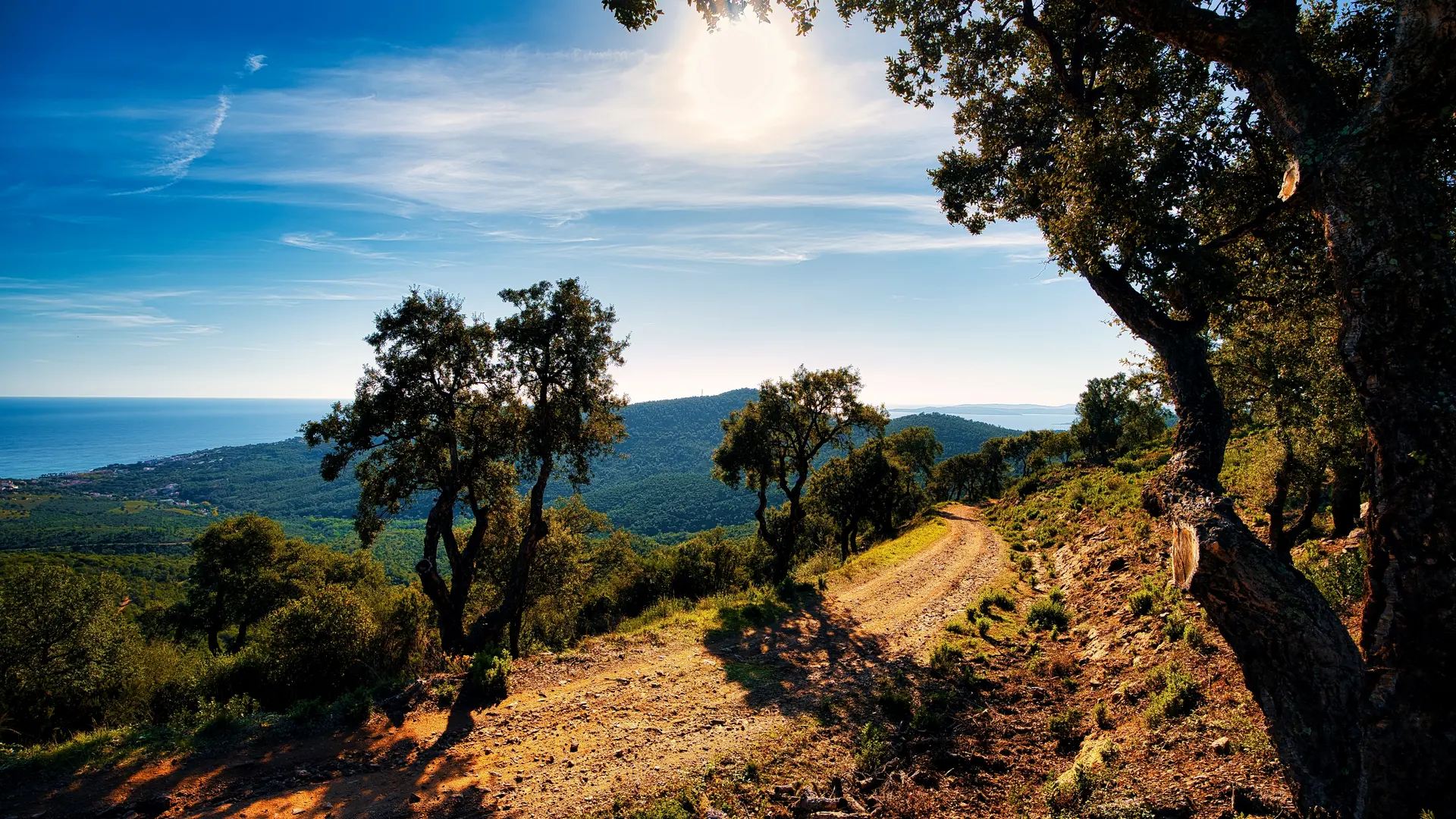
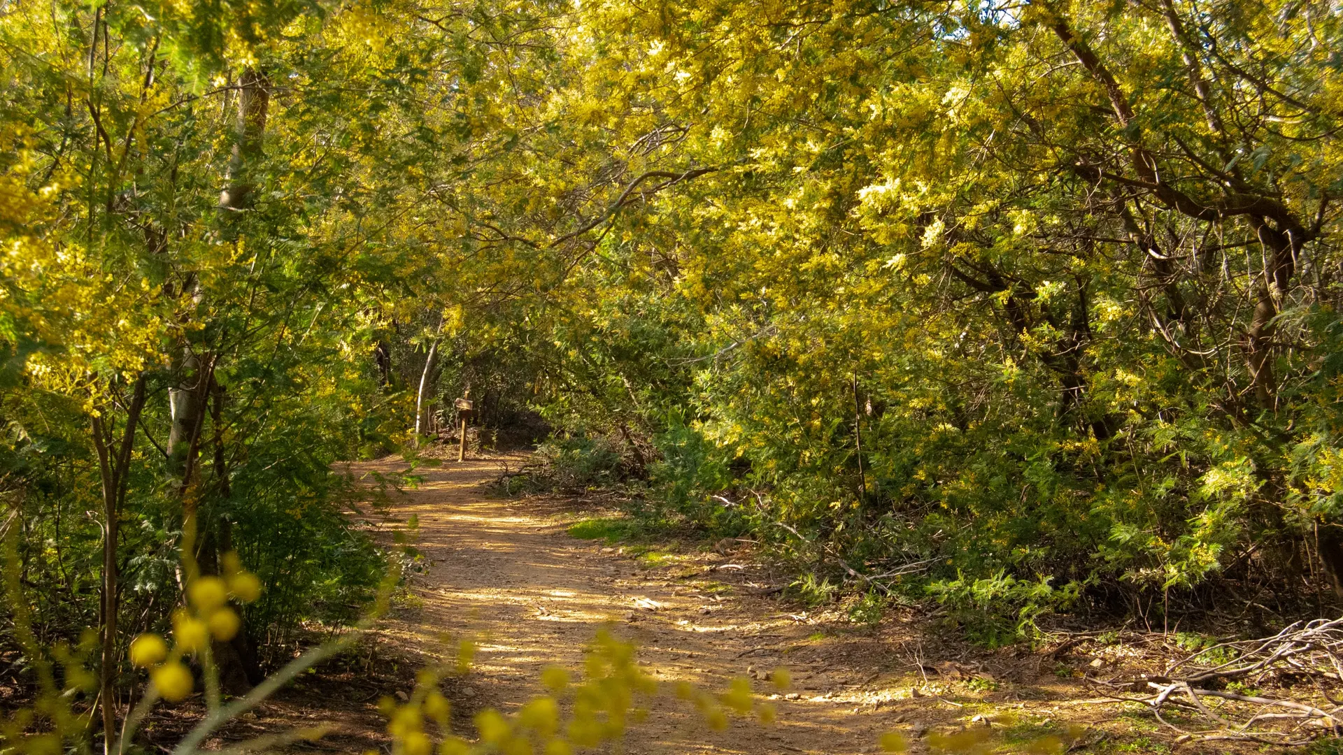
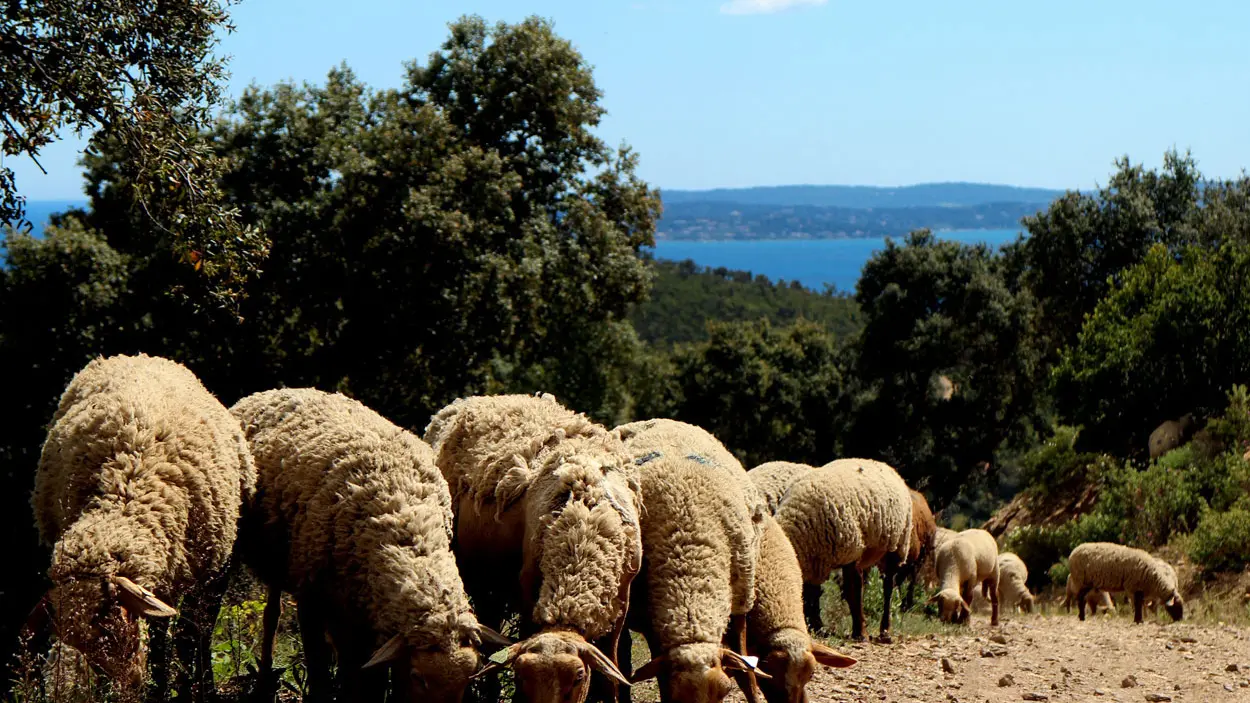
Hiking: The Agriotier trail - Vallon de la Gaillarde
Hiking: The Agriotier trail - Vallon de la Gaillarde
Elevation : 11m
Chemin de la Gaillarde, 83520 Roquebrune-sur-Argens
Getting there
×
Open the itinerary in
Google Maps
Apple Plans
Waze
Mappy
Share
Add to my favorites
×
Share this sheet
Hiking: The Agriotier trail - Vallon de la Gaillarde
E-mail
WhatsApp
Facebook
X
LinkedIn
Pinterest
©
@office de tourisme Roquebrune sur argens - Yael Boutroixx
©
@office de tourisme Roquebrune sur argens
©
@office de tourisme Roquebrune sur argens
©
@office de tourisme Roquebrune sur argens _ Yael Boutroixx
©
@office de tourisme Roquebrune sur argens
+ 1
×
©
@office de tourisme Roquebrune sur argens - Yael Boutroixx
©
@office de tourisme Roquebrune sur argens
©
@office de tourisme Roquebrune sur argens
©
@office de tourisme Roquebrune sur argens _ Yael Boutroixx
©
@office de tourisme Roquebrune sur argens
©
©ECA
Location
Comments
Location
Location
Hiking: The Agriotier trail - Vallon de la Gaillarde
Elevation : 11m
Chemin de la Gaillarde, 83520 Roquebrune-sur-Argens
Getting there
×
Open the itinerary in
Google Maps
Apple Plans
Waze
Mappy
04 94 19 89
▒▒
04 94 19 89 89
See the websites
www.roquebrunesurargens-tourisme.fr
www.var.gouv.fr
Spoken languages
Spoken languages
Environment
Environment
Forest location
Sea view
Panoramic view
from
.
€
.
.
.
.
.
.
.
Close
English
Français
Italiano
Close
×